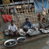
Urban Life
Bangladesh is primarily an agricultural country. Up to 75 % of its inhabitants are estimated to live in villages outside urban areas. However, this demographic constellation is changing rapidly and big Bangladeshi cities have been experiencing a growth of population.
Dhaka
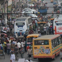
Dhaka was founded in the 10th century. Under Mughal rule, between 1608-1704, it was the capital of Bengal and the centre of maritime trade for British, French and Dutch merchants. The city passed to the British control in 1793. In 1905, Dhaka became the capital of Bengal and later, in 1956, the capital of East Pakistan. It was severely damaged during the Bangladesh Liberation War in 1971. In 1982, the city changed its name from Dacca (romanized form) to Dhaka (Bengali).
V Dháce sídlí vláda, parlament, prezident a společně s přístavním městem Chittagong hraje ústřední roli v bangladéšské ekonomice. Je politickým, obchodním, kulturním, a vědeckým centrem národa. K nejznámějším kulturním památkám zde patří budova Parlamentu (Jatiyo Sangshad Bhaban), the University of Dhaka, Muzeum osvobození (Shaheed Minar), National Museum, Lalbagh Fort, a další.
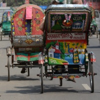
In recent decades, Dhaka has experienced an influx of population from around the country. It now belongs among the most densely populated and fastest growing cities in the world. It consists of the Old and the New City and numerous residential and industrial areas. Despite the fact that the city continues to face substantial challenges of overpopulation, poverty and pollution, it has attracted foreign investments and trade, with the Dhaka metra and an elevated expressway under construction.
Chittagong
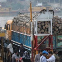
Described as the gateway of Bengal, the port was visited by many a traveler, e.g. Xuanzang, Ibn Battuta and Zheng He. During the 16th and the 17th century, Chittagong was dominated by the Portuguese and called “Porto Grande De Bengala“. The city developed under British rule in the 19th century, alongside the development of the railway. During World War II, Chittagong served as an important military base for the Allies who fought against the Japanese in Burma. After the partition of India in 1947, Chittagong became part of East Pakistan. The independence of Bangladesh was declared in the city during the Bangladesh Liberation War in 1971.
Accounting for more than 90 % of international trade, Chittagong is a vital part of the country's economy. It is home to many trading and industrial companies. The city has its own stock exchange and university.
The products of the region include jute, cotton, rice, tea, oil and bamboo. Chittagong is surrounded by a picturesque combination of the bay, river and mountains of over 1.200 m above sea level. The region is home to a number of tribes who stood in opposition to the Bengali settlement. Annual average temperature of 25 °C annual average rainfall of 2.870 mm.
Important landmarks include the Divisional Court, the Shrine Bayazid Bostami, the Chandanpura Masjid, the Commonwealth War Cemetery, the Ethnological museum, Foy's Lake and the Patenga beach.
